Exploring the best local trails in Cowichan
Whether you are old school or new school, there are plenty of navigational tools available for your next outdoor adventure.
This article is from The Discourse’s Cowichan Valley newsletter. Sign up to get it in your inbox.
Cowichan has no shortage of spectacular places to head out on foot, bike or horseback. But how do you know where to go when you’re interested in trying out a new trail?
That’s a question asked to us by a reader who moved to Cowichan five years ago: “We have discovered many amazing trails but I know there are many, many more we haven’t. I would love to be able to access maps of trails!”
She is far from the only one interested in this. When North Cowichan was developing its 2017 Parks and Trails Master Plan, the municipality discovered a big public appetite for trails, says Chris Istace, who is on the Cowichan Trail Stewardship Society board of directors. “Holy cow, people want trails. It was resounding. ‘We need hiking trails, we need walking trails, we need mountain bike trails, we need urban trails.’”
Istace says that a growing recognition about the economic benefits of recreation has resulted in significant investments by local governments in signage, kiosks, trail maintenance as well as maps and online tools.
Holding a map in your hand
Many people still find comfort in carrying a foldable trail map. Those who do will be glad to know that earlier this year, waterproof maps became available that feature Mount Tzouhalem trails on one side and Maple Mountain trails on the other. The maps are free and are the result of a partnership between North Cowichan and the stewardship society. Istace says that Don Stewart, North Cowichan’s director of parks and recreation, deserves a lot of credit for making this and other trail-related projects happen. The maps are available at area bike shops and visitor centres.

The new free waterproof map featuring the trails of Maple Mountain and Mount Tzouhalem. David Minkow/The Discourse
Earlier this year, the CVRD parks department updated its brochure for The Cowichan Valley Trail, which is part of Canada’s Great Trail and runs from Ladysmith to Lake Cowichan to the top of the Malahat. A recent addition to the Cowichan Valley Trail is the Saltair Rail With Trail project completed this spring. According to Istace, it has already become very popular with bike commuters.
If you’d like an overview of local trails, there are several brochures available. These include guides for CVRD parks and trails, Ladysmith’s trails and North Cowichan’s Parks, Recreation & Trails. Also, the CVRD website has information on popular hiking spots including the Cobble Hill Mountain Regional Recreation Area, Osborne Bay Park, Spectacle Lake Park and Stoney Hill Regional Park.
And then there is the old school method of copying trail maps from a book. Volume One Books in Duncan carries a selection of books that include local trails. These include Theo Dombrowski’s “Seaside Walks on Vancouver Island,” “Family Walks and Hike of Vancouver Island,” and “Popular Day Hikes Vancouver Island;” T.W. Paterson’s “Rails to Trails,” and “Historic Hikes, Sites & Sights of the Cowichan Valley;” as well as “Backroad Mapbooks for Vancouver Island.”
Growing appetite for trail apps
Increasingly, people are using apps for their outdoor adventures. And local governments are using the data recorded on these apps to understand how their trails are being used, Istace says. He explains that the sports fitness app Strava, which tracks routes, speed and other data, can be linked to Trailforks, a popular mapping network. The result is data on which trails are being used and by whom. Istace says that of the people recording their data on Strava while using trails within the Municipality of North Cowichan, about 85 per cent hail from outside the Cowichan Valley.
“People are coming here because it’s that good,” Istace says. To make sure that the trails remain good, he says that Trailforks has a feature that allows users to report trail maintenance issues to the stewardship society.
Another popular navigational app is AllTrails, which features user-submitted data. Istace says that in addition to providing a breakdown of the trails, AllTrails has filters that make it possible to search for things such as skill level and dog-friendliness.
There are also apps for specific trails. Istace says that the app for The Great Trail (formerly called the Trans Canada Trail) is very interactive and provides detail on every section of the trail. He also recommends the new app created by North Cowichan for navigating Maple Mountain. He says that the municipality is waiting for signage to be completed before releasing an app for trails on Mount Tzouhalem and there are plans to create apps for Mount Prevost and Mount Richards.

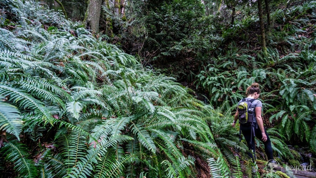
The view along the Stocking Creek Park portion of the Cowichan Valley Trail in Chemainus.Submitted by Chris Istace
There’s more to come
One benefit of apps and online maps is that they can be quickly updated, as there are always new trails in the works. Istace says that the stewardship society has done an assessment with the Municipality of North Cowichan on where there should be trails, including whether a trail should be mixed use or hiking- or biking-only or even off limits if it’s in an ecologically sensitive area.
On Mount Prevost, which has become a world-class destination for downhill mountain bikers, Istace says that all the current hikes to the summit start on private property. He says that the municipality and the stewardship society are looking into creating a proper trail corridor to get hikers safely up the mountain.
New trails are built according to international standards, Istace explains, adding that the stewardship society’s highly skilled trail builders maintain and build trails on Tzouhalem and Maple mountains. “The very first premise of building a trail is building a trail that’s sustainable,” he says. “If you don’t build a trail right, it’s not going to last.”
Istace believes that investments in trails pay off. Last year, Ladysmith released an economic development study that showed that mountain biking had the potential to be a top economic driver for the community. The study estimated that investments in mountain bike trail development would bring a return of about $650,000 annually. Earlier this year, a Ladsymith chapter of the stewardship society formed.
Be safe out there
Istace, who also runs the Mindful Explorer blog, says that anyone heading out on the trails should understand the principles of Leave No Trace and know the Ten Essentials of how to be prepared for the unexpected.
“The single most important thing, especially because so many people go out by themselves, is to tell someone where you’re going…you might not be perfect with all the rest, just tell someone where you are going,” says Istace, who recommends posting plans on social media. “If you don’t know an area, for the first time don’t take chances…Just because there’s a trail there doesn’t mean that it’s not wild.”
He also recommends making sure you know whether a cell phone signal is available where you are going. If not, with a lot of apps you can download the data and use it offline, he says. For example, if you’re wanting to explore trails in logging areas or Carmanah Walbran Provincial Park, Istace says you can download maps from ViewRanger, which has BC Backroads Mapbooks built into it, showing every logging road and every gate.
Finally, Istace suggests taking time to review your plan before heading out. “Whether it’s a map or an app, know how to use the tool.”
Five favourite hikes
At the end of our conversation, I ask Istace what are his five favourite local hikes. Here’s his list:
– Yellow and Blue coastal trail loop on Maple Mountain
– The Cowichan Valley Trail loop in Stocking Creek Park in Chemainus that leads to a waterfall
– Awesome Trail to the summit of Mount Tzouhalem
– Stoney Hill Trail loop that overlooks Sansum Narrows
– Skutz Falls to 66 Mile Trestle loop on the Cowichan River Footpath [end]
What did you think of this story?
Your feedback after we publish a story helps ensure we're always improving our reporting to better serve you
Author

Related Articles

Cowichan SPCA calls for more foster volunteers as demand for space increases
As demand grows for animal shelter space, a team of volunteers and Cowichan SPCA staff are working to make sure animals find a place to call home.

Immigration partnership program aims to make the Cowichan Valley more welcoming to newcomers
A new federally funded partnership wants to understand what barriers immigrants face when they arrive in the Cowichan Valley.
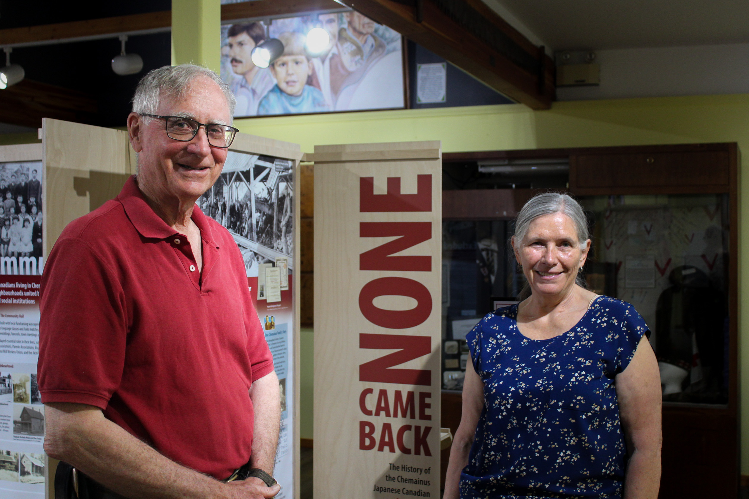
None Came Back: Documenting the untold stories of the Japanese community in Chemainus
New exhibit at Chemainus Valley Museum aims to highlight and give voice to the Japanese Canadian community that once lived in Chemainus.